-
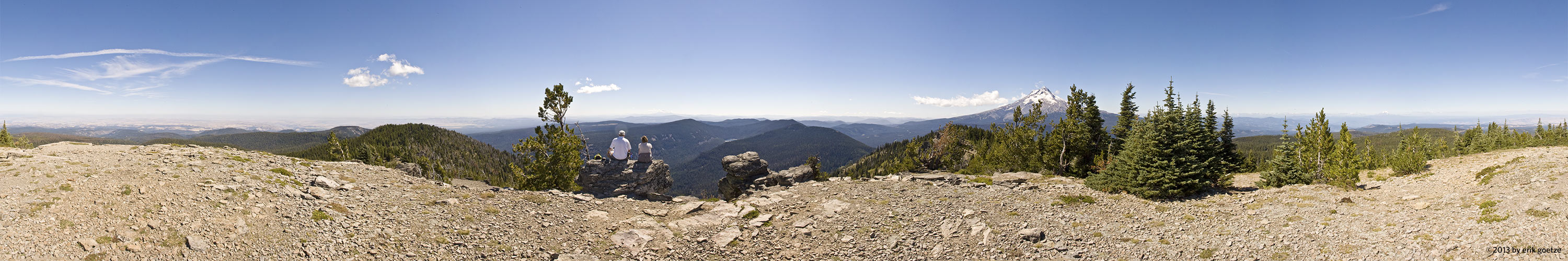 This 360 panorama is from near Mt. Hood, Oregon
VirtualParks parks
USA > California > Mid Peninsula >
For a different panorama every day, visit VRlog.com, which works in all popular browsers and supports fullscreen viewing and WebVR.
For a different panorama every day, visit VRlog.com, which works in all popular browsers and supports fullscreen viewing and WebVR.