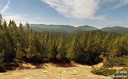
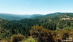
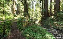
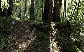
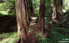
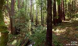
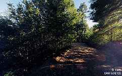
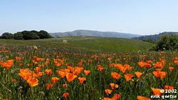
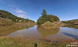
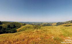
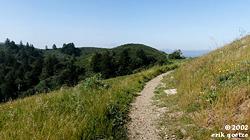
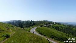
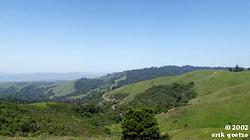
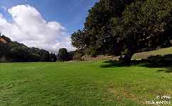
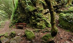
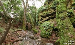
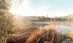
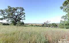
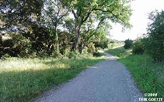
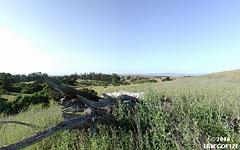
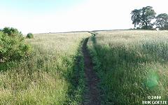
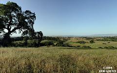
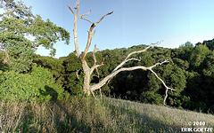
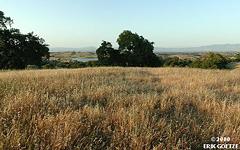
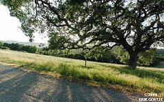
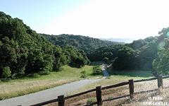
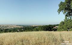
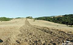
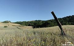
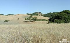
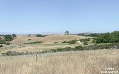
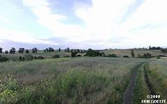
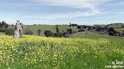
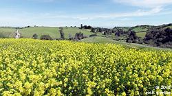
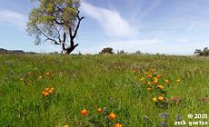
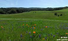
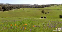
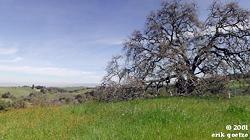
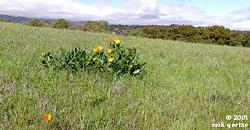
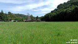
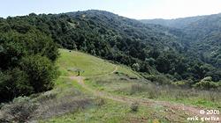
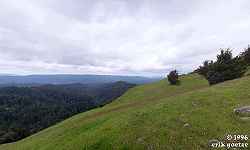
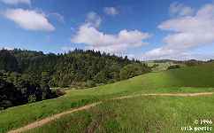
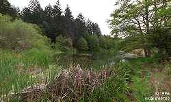
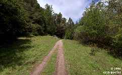
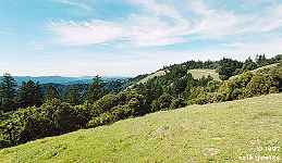
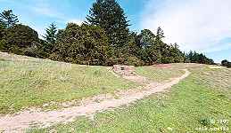
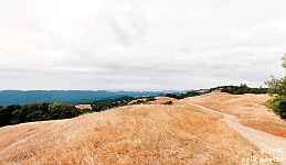
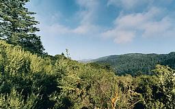
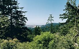
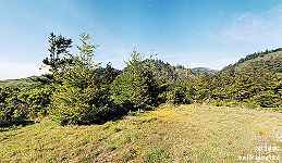
Panoramas in Sam MacDonald County Park
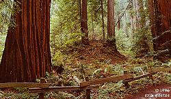
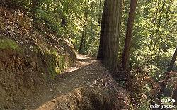
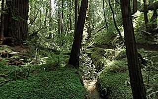
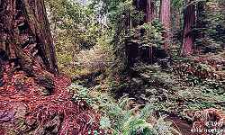
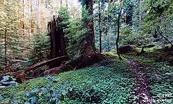
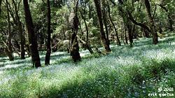
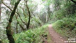
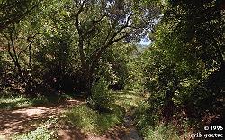
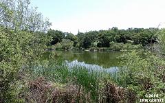
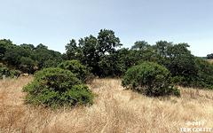
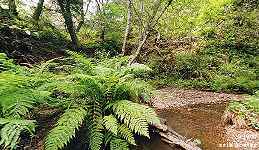
Lower Heritage Grove nr 1 (1374KB)
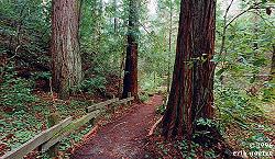
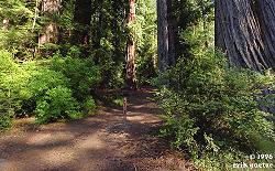
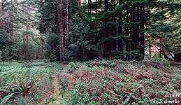
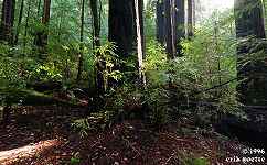
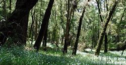
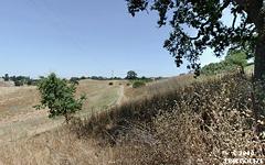
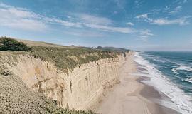
Lower Heritage Grove nr 2 (951KB)
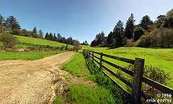
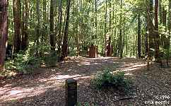
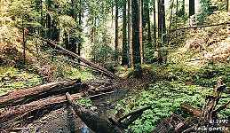
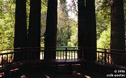
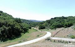
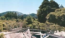
Horse Camp (1015KB)
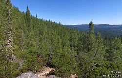
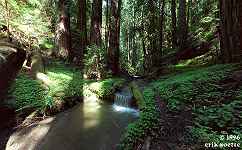
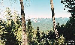
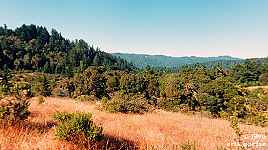
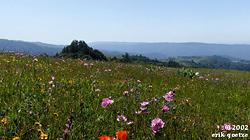
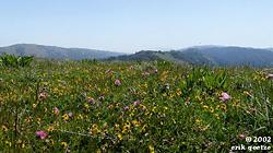
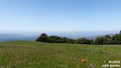
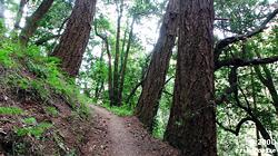
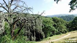
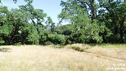
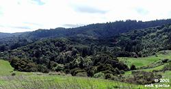
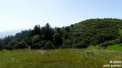
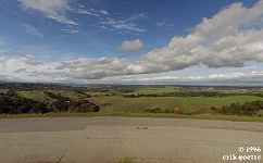
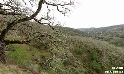
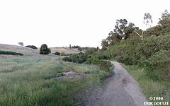
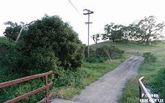
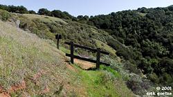
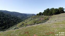
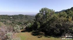
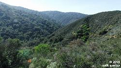
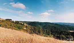
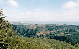
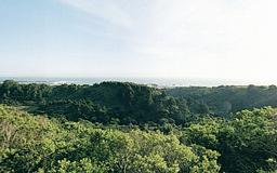
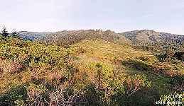
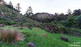
Panoramas in Big Basin Redwoods State Park
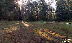
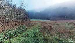
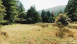
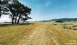
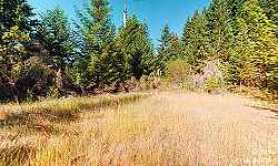
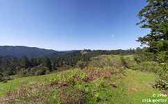
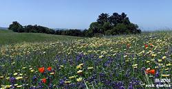
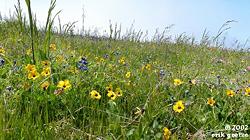
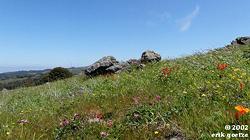
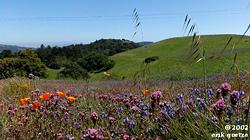
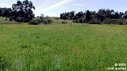
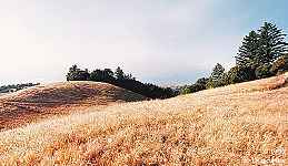
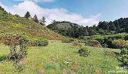
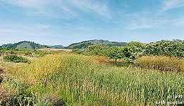
Redwood Trail meadow (1000KB)
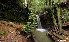
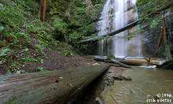
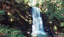
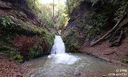
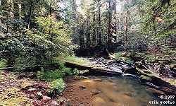
Sempervirons Falls (1054KB)
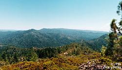
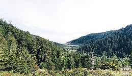
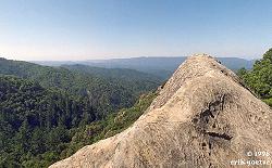
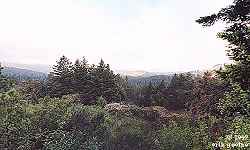
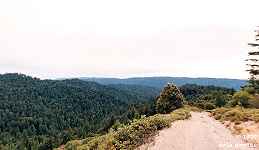
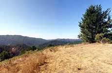
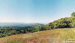
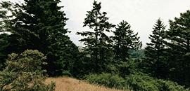
Mt. McAbee (981KB)
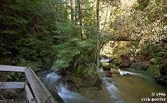
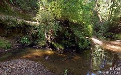
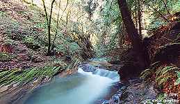
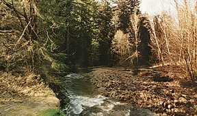
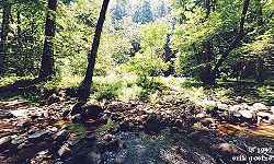
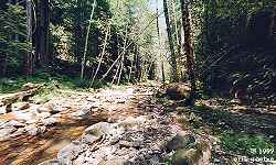
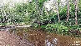
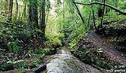
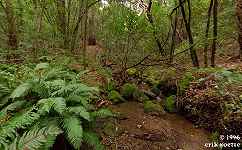
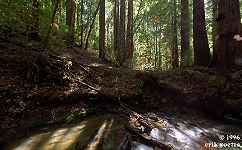
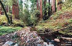
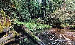
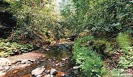
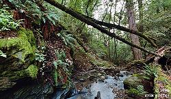
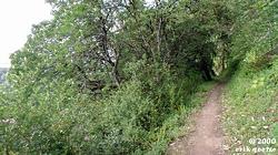
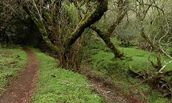
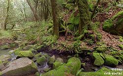
Along Kelly Creek on the Skyline to the Sea Trail (1116KB)
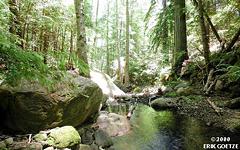
Berry Creek Falls nr 1 (1050KB)
Silver Falls (1151KB)
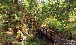
Footbridge across Waddell Creek (1071KB)
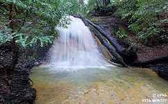
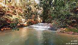
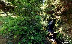
Cascade Falls (1055KB)
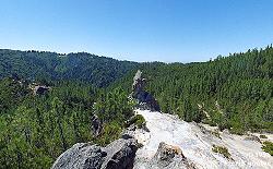
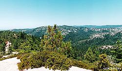
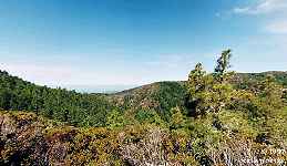
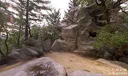
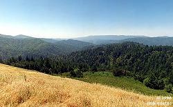
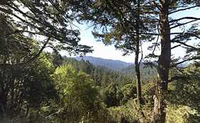
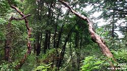
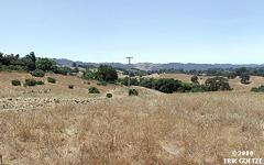
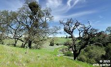
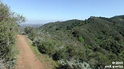
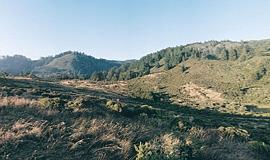
Buzzard's Roost (1028KB)
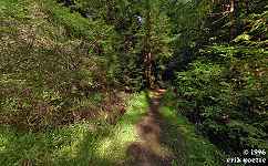
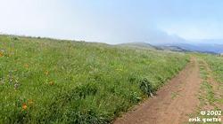
Skyline to the Sea trail below China Grade (864KB)
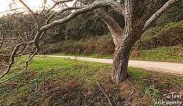
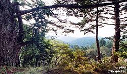
Along trail to Buzzard's Roost (922KB)
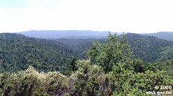
Ridge above Skyline to the Sea trail (1100KB)
Shadowbrook Trail (1040KB)
East Ridge Trail (1055KB)
Parking Lot at Park HQ (854KB)
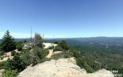
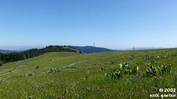
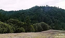
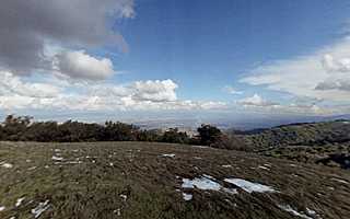
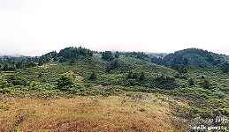
Chalk Mountain summit (858KB)
near Chalk Mountain lookout (935KB)
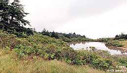
Off Marsh Trail (687KB)
Berry Creek Falls nr 2 (718KB)
West Waddell Creek upper rapids (910KB)
West Waddell Creek lower rapids (756KB)
Below tall bridge over Waddell Creek (589KB)
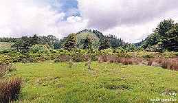
Camp Herbert (812KB)
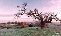
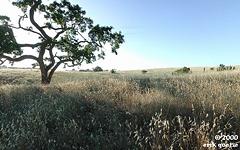
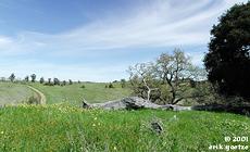
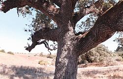
Tree near Rodgers Field (868KB)
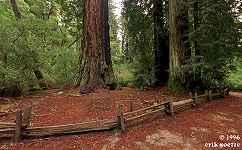
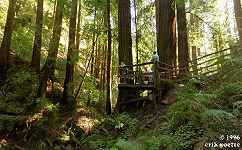
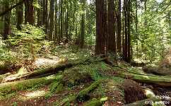
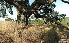
Father of the forest tree (1113KB)
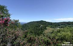
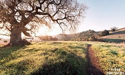
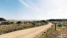
White House Road viewpoint (697KB)
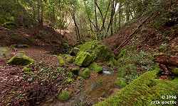
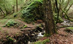
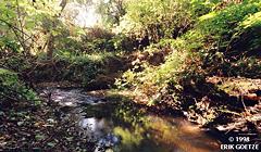
Opal Creek (826KB)
Above Opal Creek (775KB)
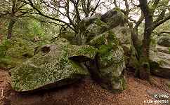
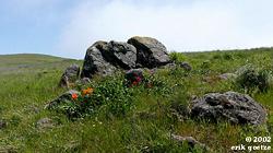
Large rock formation north of Opal Creek (779KB)
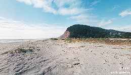
Waddell Beach by Highway 1 Overpass (608KB)
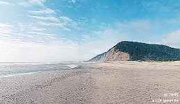
Waddell Beach (653KB)
Waddell Creek (800KB)
Waddell Creek, near cliff (702KB)
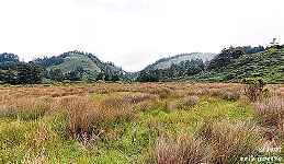
Camp Herbert meadow (827KB)
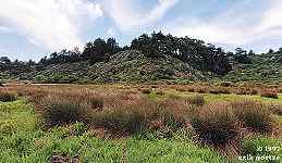
Alder Camp (1243KB)
Ridge view of Waddell Beach and Rancho del Oso (782KB)
West Ridge Trail (472KB)
Hill 1096 (823KB)
West Ridge Trail (693KB)
Anderson Family Memorial near West Ridge Trail (623KB)
Upper Rancho del Oso (752KB)
[No thumbnail]
Gazos Creek area (KB)
[No thumbnail]
Gazos Creek nr 2 (KB)
[No thumbnail]
Gazos Creek nr 3 (KB)
[No thumbnail]
South Knob overview (KB)
[No thumbnail]
Connector trail (KB)
[No thumbnail]
Anderson Landing Road (KB)
Eagle Rock summit (393KB)
Eagle Rock summit nr 2 (538KB)
Trail to Eagle Rock nr 1 (719KB)
Trail to Eagle Rock nr 2 (791KB)
Trail to Eagle Rock nr 3 (957KB)
Unknown (1119KB)
Shadowbrook Trail? (1047KB)
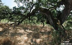
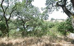
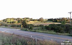
Panoramas in Butano State Park
Butano Creek Trail nr 1 (1102KB)
Butano Creek Trail nr 2 (1074KB)
Butano Creek Trail nr 3 (1082KB)
Butano Creek Pumphouse (1013KB)
Ano Nuevo Trail (1046KB)
Six Bridges Trail (1117KB)
South rim fireroad viewpoint (1236KB)
South rim fireroad view nr 2 (910KB)
Little Butano Creek at first bridge (883KB)
Little Butano Creek at second bridge (1044KB)
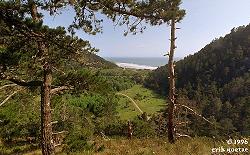
Panoramas in Ano Nuevo State Reserve
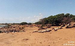
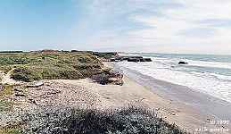
Ano Nuevo middle beach (1028KB)
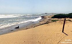
Ano Nuevo south beach (1013KB)
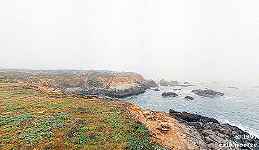
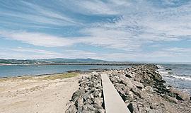
Rocky point south of Franklin Point (585KB)
Cove south of Franklin Point (606KB)
near Cascade Creek and beach (757KB)
Ano Nuevo Beach and Preserve Boundary (622KB)
Ano Nuevo Pond (575KB)
Panoramas in Castle Rock State Park
Castle Rock, Castle Rock SP (1000KB)
near Castle Rock (the rock) (1010KB)
Saratoga Gap Trail, at Kings Creek crossing (1071KB)
Loughry Woods Trail (1099KB)
Goat Rock (1078KB)
Skyline to the Sea Trail near Hwy 9 (1028KB)
Mt. Bielawski Fire Road nr 3 (943KB)
Kings Creek nr 3 (429KB)
Kings Creek nr 2 (1073KB)
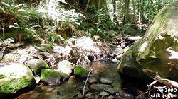
Kings Creek nr 1 (1285KB)
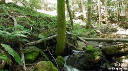
McDonald Gulch (1281KB)
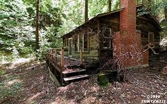
Cabin nr 2 (623KB)
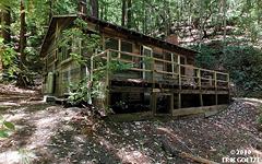
Cabin nr 1 (598KB)
Mt. Bielawski Fire Road nr 2 (878KB)
Mt. Bielawski Fire Road nr 1 (739KB)
[No thumbnail]
Overlook below Sempervirens Point (KB)
Panoramas in Portola Redwoods State Park
Peters Creek Loop, middle (1074KB)
Peters Creek Loop, north end (1061KB)
Peters Creek Loop, south end (580KB)
Bear Creek (1073KB)
Bear Creek log crossing (1128KB)
Bear Creek log crossing @noon (579KB)
Slate Creek Trail Camp (1001KB)
Page Mill site (1144KB)
Page Mill site upstream (1020KB)
Slate Creek (1103KB)
Tiptoe Falls (1030KB)
Trail to Old Tree (1110KB)
Portola Trail along Fall Creek (1074KB)
Open space along the Snag Trail (649KB)
Ridge view on Bear Creek trail (609KB)

Fallen log over Bear Creek (1084KB)
East end of Peters Creek loop nr2 (812KB)
East end of Peters Creek loop nr3 (644KB)
Natalie Grove of Peters Creek loop (754KB)
West end Peters Creek loop (812KB)
West end of Peters Creek grove nr2 (907KB)
Middle of Peters Creek loop (968KB)
Middle Peters Creek loop nr 2 (907KB)
Ward Road, near park boundary (425KB)
Panoramas in Pescadero Creek County Park
Bear Ridge bench nr 1 (544KB)
Bear Ridge bench nr 2 (813KB)

Bear Ridge bench nr 3 (839KB)
Bear Ridge Overlook (878KB)
Hiker's Hut (1011KB)
Jones Gulch Bridge (1112KB)
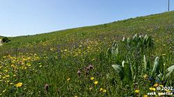
Brook Trail Meadow (1148KB)
Butano Ridge Trail Loop, atop Butano Ridge west end (1079KB)
East end of Butano Ridge (1024KB)
Tarwater Trail (902KB)
[No thumbnail]
Tarwater Loop, top of meadow (KB)
[No thumbnail]
Tarwater Loop, old shack (KB)
Pomponio Trail near Camp Pomponio (1241KB)
Bear Ridge Road nr1 (1260KB)
Bear Ridge Road nr2 (1359KB)
Bear Ridge Bench nrN (1144KB)
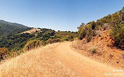
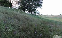
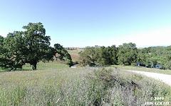
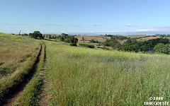
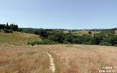
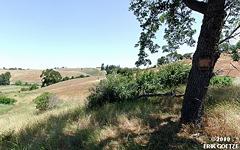
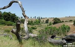
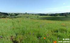
Panoramas in Russian Ridge Open Space
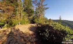
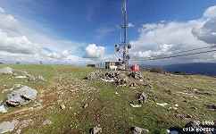
SR35 Scenic Overlook (647KB)
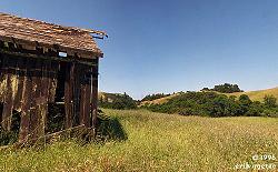
Barn at Russian Ridge (1114KB)
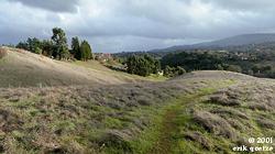
Ridge Trail at top of hill (1012KB)
Viewpoint off Ancient Oaks trail (1000KB)
Borel Hill (627KB)
Ancient Oak hilltop (841KB)
Ancient Oaks trail, midway (777KB)
off Ridge Trail nr1 (783KB)
Off Ridge Trail nr2 (749KB)
Off Ridge Trail nr3 (821KB)
Off Ridge Trail nr4 (798KB)
Ridge above vista point nr 1 (981KB)
Ridge above vista point nr 2 (954KB)
Ridge above vista point nr 3 (936KB)
Ridge above vista point nr 4 (928KB)
Ridge above vista point nr 5 (694KB)
Ridge above vista point nr 6 (704KB)
Ridge above vista point nr 7 (832KB)
Ridge above vista point nr 8 (928KB)
Ridge above vista point nr 9 (809KB)
Ridge above parking lot nr 1 (1018KB)
Ridge above parking lot nr 2 (891KB)
Ridge above parking lot nr 3 (765KB)
Above Ridge Trail, near main parking lot (879KB)
Ridge Trail near parking lot (817KB)
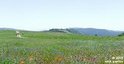
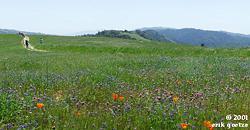
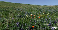
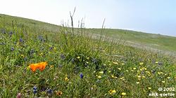
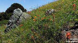
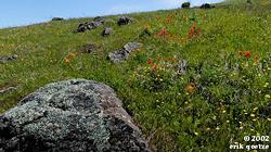
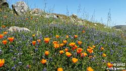
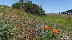
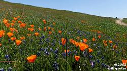
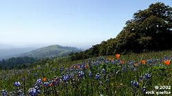
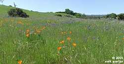
Poppies off Ridge Trail (847KB)
Hilltop south of Borel Hill nr 1 (716KB)
Hilltop south of Borel Hill nr 2 (793KB)
Hilltop south of Borel Hill nr 3 (634KB)
Ridge Trail west of Borel Hill (784KB)
Hilltop south of Borel Hill nr 4 (785KB)
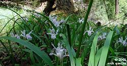
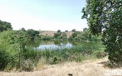
Panoramas in Skyline Ridge Preserve
Lambert Creek nr 1 (927KB)
Lambert Creek nr 2 (846KB)
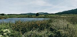
Horseshoe Lake (894KB)
[No thumbnail]
Skyline Ridge (KB)
[No thumbnail]
Old Page Mill Road (KB)
Pier on Pond (553KB)
Panoramas in Sanborn Skyline County Park
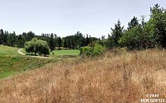
Sanborn Skyline Park (1028KB)
Panoramas in Upper Stevens Creek County Park
[No thumbnail]
Upstream from Grizzly Flat nr 1 (KB)
[No thumbnail]
Upstream from Grizzly Flat nr 2 (KB)
[No thumbnail]
Grizzly Flat (KB)
[No thumbnail]
West ridge of Table Mtn (KB)
[No thumbnail]
Table Mountain (KB)
Panoramas in Monte Bello Preserve
Looking down valley (983KB)
Black Mountain nr 1 (539KB)
Black Mountain nr 2 (919KB)
Panoramas in Los Trancos Preserve
San Andreas Fault Trail (921KB)
Panoramas in Coal Creek Preserve
Old barn at west end of park (854KB)
Panoramas in Windy Hill Preserve
Windy Hill summit (924KB)
Razorback Ridge Trail nr 6 (1151KB)
Razorback Ridge Trail nr 5 (1033KB)
Razorback Ridge Trail nr 4 (1237KB)
Razorback Ridge Trail nr 3 (1100KB)
Next to Spring Ridge Trail nr 2 (963KB)
Next to Spring Ridge Trail nr 1 (912KB)
Spring Ridge Trail overlook nr1 (822KB)
Spring Ridge Trail overlook nr2 (701KB)
Lost Trail, top of Hamms Gulch (1118KB)
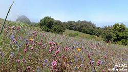
Lost Trail--giant Trillium (1104KB)
Razorback Ridge Trail-Hounds Tongues (1082KB)
Anniversary Trail (657KB)
Parking lot to parking lot trail (590KB)
Parking lot to Parking lot trail nr 2 (558KB)
Small hill overlooking parking lot (551KB)
Panoramas in La Honda Creek Preserve
Grassland overlook nr 1 (577KB)
Hill above trailhead/parking (620KB)
Grassland overlook nr 2 (676KB)
Southern Overlook (428KB)
[No thumbnail]
La Honda overlook (KB)
Panoramas in Foothills Park

Boronda Lake (821KB)
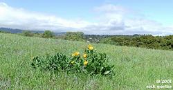
Meadow near Nature Center (930KB)
Scenic point (723KB)
Bottom of Fern Loop Trail (1113KB)
Los Trancos Trail nr 1 (1081KB)
Los Trancos Trail nr 2 (1100KB)
Los Trancos Trail nr 3 (1030KB)
Los Trancos Trail nr 4 (909KB)
Panoramas in Rancho San Antonio Preserve
Upper Wildcat Canyon Trail (1047KB)
High Meadow Trail (1001KB)
Coyote Trail/Wildcat Canyon Trail intersection (1118KB)
Panoramas in Lower Stevens Creek County Park
Stevens Creek pergola (883KB)
Panoramas in Arastradero Preserve
[No thumbnail]
Meadowlark Trail near Access Rd. (KB)
Overlook off Meadowlark Trail (432KB)
Meadowlark Trail near Acorn Trail (456KB)
[No thumbnail]
East side of Arastradero Lake (KB)
North side of Arastradero Lake (505KB)
Corte Madera Trail after second bridge (582KB)
Access Road between lake and Meadowlark Trail (688KB)
Meadowlark Trail and Access Road (496KB)
Ridgetop near Meadowlark Trail and Access Road (628KB)
Corte Madera Trail below Pond (639KB)
Acorn Trail just NW of Meadowlark Trail (563KB)
Acorn Trail and Cottage Trail intersection (513KB)
Hilltop along trail to former cottage site (503KB)
Acorn Trail ascent to west access road (608KB)
Hill overlooking west end of park (519KB)
Acorn Trail near Gate C (744KB)
Corte Madera Trail upper end (875KB)
Hilltop near golf course (497KB)
Tree overlooking Gate A (645KB)
Down Tree overlooking Gate A (475KB)
Arastradero Lake from Corte Madera Trail (716KB)
Acorn Trail between Meadowlark and Corte Madera nr1 (901KB)
Acorn Trail between Meadowlark and Corte Madera nr 2 (714KB)
Above south end of Corte Madera Trail (670KB)
Overlooking valley in Foothills Park (679KB)
Under Oaks at south end of Corte Madera Trail (856KB)
Fork near end of Corte Madera Trail (625KB)
Grassy hill at south end (667KB)
Lone oak tree at south end (529KB)
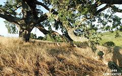
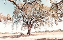
Big Oak above Corte Madera (871KB)
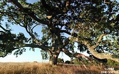
Big Oak nr 2 (732KB)
Big Oak overlook Corte Madera Trail nr 3 (602KB)
Hill at SE corner of park (720KB)
Down ridge from Foothills Park (590KB)

Grassy area in SE corner of park (775KB)
Grassy area next to fence nr1 (494KB)
Grassy hill with views in SE corner (880KB)
Grassy area next to fencepost (553KB)
South end of John Sobey Pond (862KB)
Southwest edge of Arastradero Lake (786KB)
Acorn Trail just west of Sobey Pond (660KB)
Knoll overlooking Gate B (692KB)
Slope on east side of Arastradero Lake (849KB)
Large Oak east of Arastradero Lake (891KB)
Oak forest above east side of Arastradero Lake (843KB)
Birdbox adj. to golf course (623KB)
Golf Course Fence (577KB)
Hill overlooking golf course (739KB)
Hill along east edge of Preserve (619KB)
North end of Meadowlark Trail overlooking Gate A (326KB)
Just above intersection of Corte Madera and Meadowlark Trail (438KB)
On reconstructed bridge over Arastradero Creek (408KB)
Between Gate A and Parking Lot (430KB)
Field near main entrance sign (620KB)
Hill between Corte Madera and Meadowlark Trail nr 1 (699KB)
Top of hill between Corte Madera Trail and Meadowlark Trail (767KB)
Big log on hilltop between Corte Madera Trail and Meadowlark Trail (682KB)
Mustard grass near Perimeter Trail (683KB)
Inside the mustard grass field near Perimeter Trail (980KB)
Under tree on hill near Access Road and Meadowlark Trail (657KB)
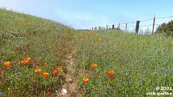
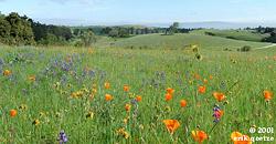
Poppies aside hill next to Access Road and Meadowlark Trail (687KB)
Poppyfield aside hill nr2 (538KB)
Poppyfield aside hill nr3 (547KB)
Poppyfield nr4 (938KB)
Poppyfield nr5 (630KB)
Oak Trees at Access Road and Meadowlark Trail intersection (610KB)
Poppies Acorn Trail and Access nr1 (543KB)
[No thumbnail]
Poppies Acorn Trail and Access nr2 (KB)
Poppies Acorn Trail and Access nr3 (858KB)
Mulesear hill N of Meadowlark nr1 (830KB)
Mulesear hill N Meadowlark nr2 (835KB)
Inside Mustard field nr2 (903KB)
Corte Madera just beyond bridge (1149KB)
Poppies on hill between Acorn Trail and Access Road nr4 (935KB)
Poppies on hill between Acorn Trail and Access Road nr5 (869KB)
Large Oak near Lake (847KB)
Oaks with bench (1041KB)
[No thumbnail]
Hill east of parking lot nr 1 (KB)
Hill east of parking lot nr 2 (731KB)
[No thumbnail]
Hill east of parking lot nr 3 (KB)
Panoramas in Hidden Villa Preserve
Meadow near Visitor Center (640KB)
Switchback along Ewing Hill Trail (718KB)
View from Ewing Hill south knob (684KB)
Ewing Hill north knob nr1 (619KB)
Ewing Hill north knob nr2 (664KB)
Toyon Trail nr1 (853KB)
Toyon Trail nr2 (734KB)
Panoramas in Long Ridge Preserve
Peters Creek, north of apple orchard (983KB)
Overlook from Long Ridge (the ridge) (810KB)
Beginning of trail near Grizzly Flat TH (901KB)
Pond (1083KB)
Along Peters Creek Loop Trail (993KB)
Ward Road and Long Ridge Road (618KB)
Stegner Bench (636KB)
Hickory Oak Ridge, Ward Road (351KB)
Wire Gate along Ward Road (589KB)
Ward Road forks with Hickory Oak (628KB)
[No thumbnail]
Overlook along Bay Area Ridge Trail (KB)
[No thumbnail]
Meadow along Peters Creek (KB)
Panoramas in Pescadero State Beach
Rock outcrop (777KB)
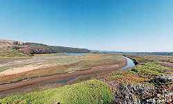
Pescadero Marsh (473KB)
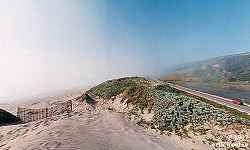
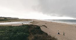
Pescadero Beach dune (370KB)
Pescadero Marsh overlook and bench (584KB)
Panoramas in Coastside Beaches
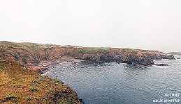
Beach near Franklin Point (813KB)
Franklin Point (953KB)
San Gregorio (795KB)
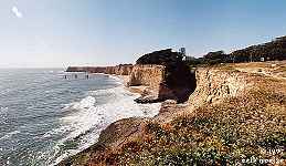
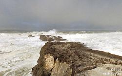
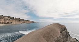
Davenport cliff (583KB)
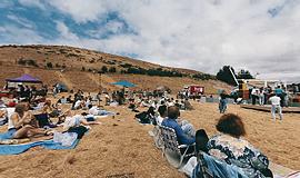
Coastside concert 1 (632KB)
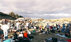
Coastside concert 2 (629KB)
Coastside concert 3 (628KB)
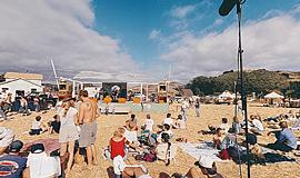
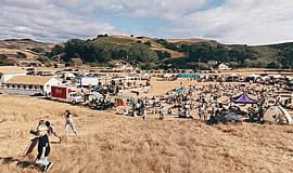
Coastside concert 4 (633KB)
Pillar Point nr 2 (585KB)
Gazos Creek/Beach (617KB)
Greyhound Rock (616KB)
[No thumbnail]
Bonny Doon Beach nr1 (KB)
[No thumbnail]
Point Montara Lighthouse nr 1 (KB)
Point Montara Lighthouse nr 2 (619KB)
Point Montara Lighthouse nr 3 (659KB)
[No thumbnail]
Pillar Point nr 3 (KB)
[No thumbnail]
neck of land before big dish point (KB)
Panoramas in Ano Nuevo State Park - Cascade Ranch
Old fire road north of Old Woman's Creek (888KB)
Draw between Old Woman's Creek and White House Creek (547KB)
Whitehouse Creek streambottom nr 1 (1034KB)
Meadow to north of Whitehouse Creek (855KB)
Whitehouse Road nr 1 (665KB)
Hill next to Whitehouse Road (671KB)
Reservoir (736KB)
Meadow south of Whitehouse Creek (715KB)
East end of Meadow south of Whitehouse Creek (761KB)
West end of Meadow south of Whitehouse Crk (762KB)
Slope beyond west end of Meadow south of Whitehouse Crk (853KB)
Ridge below girl scout camp (649KB)
NRIDGE1 (778KB)
NRIDGE2 (813KB)
N-WHCK1 (928KB)
N-WHCKMD (meadow) (570KB)
alongside Highway 1 (715KB)
Highway 1 and Whitehouse Road (720KB)
Lagoon near Whitehouse Road (711KB)
Hill overlooking Whitehouse Creek (663KB)
Looking down into Ohlone Valley (595KB)
Cascade North Knob (595KB)
Beyond Cascade North Knob (592KB)
Old road ascending to North Knob (599KB)
Cascade North Knob, 2nd time (1061KB)
Knocked down old house in Ohlone Valley (1057KB)
Old ranch road (1057KB)
Northern ridge road (1049KB)
Big Fir overlooking Whitehouse Creek (1061KB)

Pampas Grass ridge (1049KB)
Grassy clearing (1048KB)
U-shaped ravine north of Ohlone Valley (627KB)
Whitehouse Creek redwood crossing (634KB)
Fir Forest (633KB)
Under big Buckeye (631KB)
[No thumbnail]
Hill 400 (KB)
Boar forest 1 (634KB)
Boar forest 2 (636KB)
[No thumbnail]
middle Ohlone Valley (KB)
Whitehouse Road nr 2 (653KB)
Whitehouse Road nr 3 (674KB)
Whitehouse Road nr 4 (723KB)
Hill 535 (587KB)
Hill 600 (739KB)
Ohlone Meadow at sunset (692KB)
Clearing on way to Cascade Knob (580KB)
Upper Reservoir nr 2 (577KB)
[No thumbnail]
Highway One and Whitehouse Road (KB)
[No thumbnail]
Whitehouse Creek streambottom nr 4 (KB)
[No thumbnail]
Whitehouse Creek streambottom nr 8 near ocean (KB)
[No thumbnail]
Whitehouse Road nr 5 (KB)
[No thumbnail]
Whitehouse Road nr 6 (KB)
[No thumbnail]
Whitehouse Road nr 7 (KB)
[No thumbnail]
Highway 1 and Whitehouse Road (KB)
[No thumbnail]
Whitehouse Creek streambottom nr 3 (KB)
[No thumbnail]
Whitehouse Creek streambottom nr 9 above big culvert (KB)
[No thumbnail]
South knob main overview point (KB)
[No thumbnail]
Whitehouse Creek streambottom nr 5 (KB)
Whitehouse Creek streambottom nr 6 (679KB)
[No thumbnail]
Whitehouse Creek streambottom nr 8 (KB)
Panoramas in Duveneck Windmill Pasture
[No thumbnail]
Duveneck nr 1 (KB)
[No thumbnail]
Duveneck nr 2 (KB)
[No thumbnail]
Duveneck nr 3 (KB)
[No thumbnail]
Duveneck nr 4 (KB)
[No thumbnail]
Duveneck nr 5 (KB)
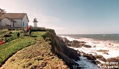
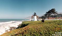
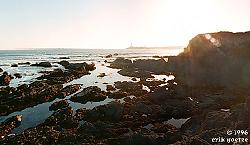
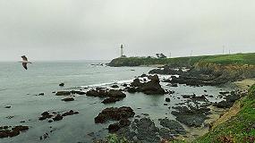
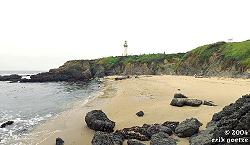
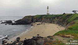
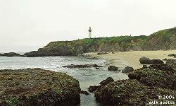
Panoramas in Pigeon Point Light Station State Historic Park
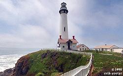
Pigeon Point lighthouse (1030KB)
South of Pigeon Point (559KB)
[No thumbnail]
Just north of Pigeon Point (KB)
[No thumbnail]
Shore just north of Pigeon Point (KB)
Bluffs overlooking beach south of Pigeon Point (676KB)
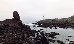
Rocky point over beach next to Pigeon Point (974KB)
Small bluff over beach next to Pigeon Point (950KB)
On rocks next to Pigeon Point (1063KB)
On tidal flats south of Pigeon Point (1104KB)
Panoramas in Pomponio State Beach
Pomponio Beach Bluff (595KB)
Panoramas in Bean Hollow State Beach
[No thumbnail]
Bean Hollow (KB)
For a different panorama every day, visit VRlog.com, which works in all popular browsers and supports fullscreen viewing and WebVR.
|
 This 360 panorama is from Tioga Pass, Yosemite