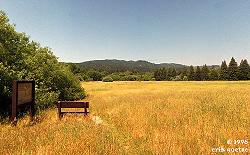
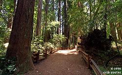
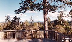
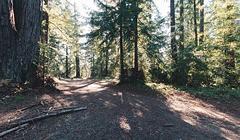
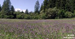
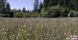
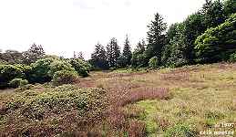
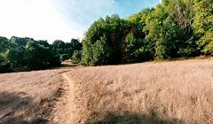
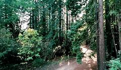
Big meadow near park entrance (1210KB) Old growth redwoods trail (1063KB) [No thumbnail] Cathedral Redwoods spot (KB) Observation Deck (573KB)
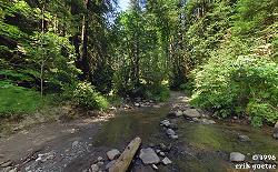
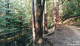
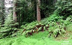
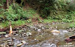
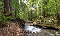
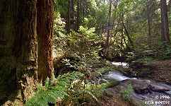
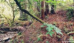
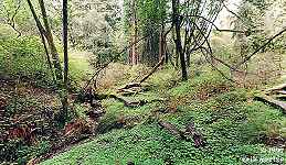
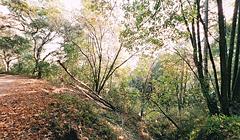
Loma Prieta Epicenter (1073KB) Mill on Aptos Creek (1136KB) Aptos Creek spot (1161KB) Five Finger Falls, Aptos Creek (986KB) Aptos Creek redux (1013KB) Big Slide (1132KB) Mossy Log along Bridge Creek Trail (1181KB) Bridge Creek Trail (1126KB) Sand Point Overlook (921KB) Westridge Trail Camp (1231KB) Hinckley Creek crossing (984KB) Along Hinckley Creek (830KB) Aptos Creek, Mill Pond trail crossing (1945KB) Aptos Creek, small lagoon (1068KB) Aptos Creek Fire Road lagoon (991KB) Aptos Fire Road sunset (1060KB) Aptos Creek Trail nr 1 (802KB) Aptos Creek Trail nr 2 (838KB) Aptos Creek Trail nr 3 (762KB) Aptos Creek Trail nr 4 (638KB) Aptos Creek logjam (577KB) Gulch into Aptos Creek (695KB) Gulch into Aptos Creek nr 2 (756KB) Gulch into Aptos Creek nr 3 (717KB) [No thumbnail] Aptos Crk above Big Slide nr 1 (KB) Aptos Creek ladybug swarm (740KB) Aptos Crk above Big Slide nr 2 (706KB) Aptos Crk above Big Slide nr 3 (711KB) Aptos Crk above Big Slide nr 4 (684KB) Aptos Creek above Big Slide nr 5 (649KB) Aptos Creek above Big Slide nr 6 (677KB) Aptos Creek below Five Finger Falls (665KB) Aptos Creek above Big Slide nr 7 (683KB)
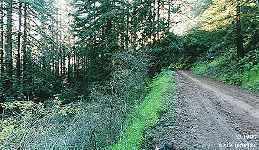
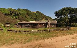
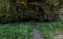
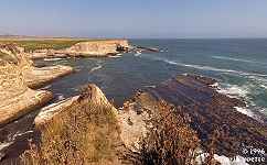
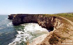
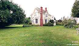
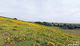
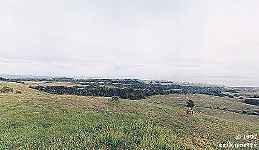
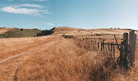
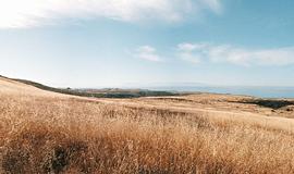
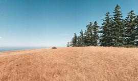
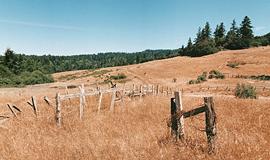
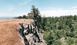
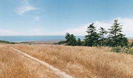
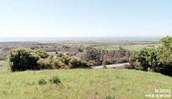
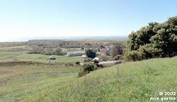
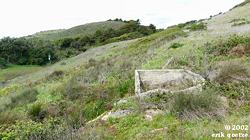
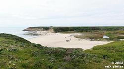
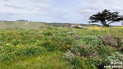
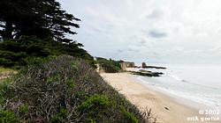
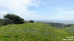
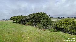
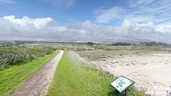
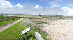
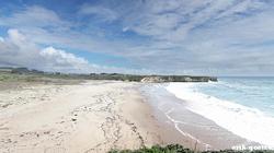
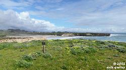
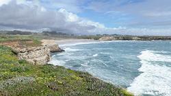
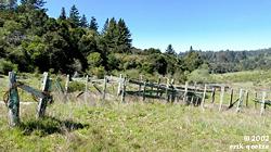
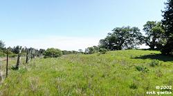
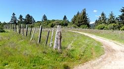
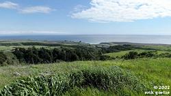
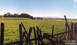
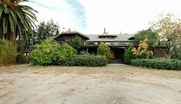
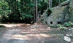
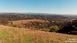
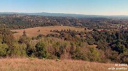
Engelsman Loop Redwoods (961KB) Englesman Trail overlook point (1010KB) Cowboy quarters and corral (947KB) Fern grotto (934KB) Coast cliffs overlooking sea lion spot (910KB) Coast viewpoint (833KB) Wilder Ranchhouse (816KB) Poppy field at entrance (681KB) Pond along Wilder Ridge Trail (700KB) Top of Zane Grey cuttoff (626KB) Twin Oaks (785KB) Ridgetop along Wilder Ridge trail (490KB) Bottom of overlook hill (649KB) Ruins--just inside Gray Whale Ranch (727KB) Baldwin Trail nr 1 (593KB) Baldwin Trail nr 2 (593KB) Baldwin Loop Trail nr 3 (593KB) Enchanted Loop Trail (589KB) Intersection of Eucalyptus Loop and Enchanted Loop (608KB) Baldwin Loop Trail cliffs (577KB) Baldwin Loop, north side (537KB) [No thumbnail] Gray Whale Ranch nr 1 (KB) [No thumbnail] Gray Whale Ranch nr 2 (KB) [No thumbnail] Gray Whale Ranch nr 3 (KB) [No thumbnail] Gray Whale Ranch nr 4 (KB) Gray Whale Ranch nr 5 (693KB) Intersection of Wilder Creek and Cave Gulch (560KB) Wilder Creek and nameless gulch (661KB) [No thumbnail] Beginning of Woodcutter trail (Empire Grade end) (KB) Chinquinkin Trail overlook (576KB) Peaseley Gulch crossing (814KB) [No thumbnail] Above Cowboy Loop Trail nr 1 (KB) [No thumbnail] Above Cowboy Loop Trail nr 2 (KB) Along woodcutter trail (470KB) [No thumbnail] Top of Wilder/Graywhale Ranch (KB) [No thumbnail] Gray Whale Ranch Ruins (KB) End of Woodcutter trail (476KB) Field by Empire Grade nr1 (1024KB) Field by Empire Grade nr2 (1042KB) Cowboy Loop hilltop (533KB) Cowboy Loop below hilltop (887KB) Baldwin Loop near Hwy 1 (785KB) Bluff over 4 Mile Beach nr 1 (682KB) Bluff over 4 Mile Beach nr 2 (798KB) Bluff over 4 Mile Beach nr 3 (690KB) Ridge off Baldwin Loop nr 1 (646KB) Ridge off Baldwin Loop nr 2 (706KB) Ridge off Baldwin Loop nr 3 (826KB) Footpath near parking lot (776KB) Overlook near parking lot (763KB) Old Cove Landing Trail near overlook (749KB) Old Cove Landing Trail Overlook nr1 (581KB) Old Cove Landing Trail Overlook nr2 (697KB) Old Cove Landing Trail Overlook nr3 (644KB) Old Cove Landing Trail past Overlook (715KB) Old Cove Landing Trail near Overlook nr2 (737KB) [No thumbnail] Knob off Enchanted Loop (KB) Above Five Trails intersection (991KB) [No thumbnail] Above Enchanted Loop (KB) [No thumbnail] Above corral at five trail intersection (KB) [No thumbnail] Along Eucalyptus Loop just above five trail intersection (KB) [No thumbnail] At five trail intersection (KB) Along fence at Wilder Ridge Loop (909KB) [No thumbnail] South side of Twin Oaks (KB) Western end of Twin Oaks trail (964KB) [No thumbnail] Along fence Eucalyptus Loop nr2 (KB) [No thumbnail] West hills nr 1 (KB) [No thumbnail] Overlooking Baldwin Canyon (KB) [No thumbnail] West hills nr 3 (KB) West hills nr 4 (859KB) [No thumbnail] West hills nr 5 (KB) [No thumbnail] West hills nr 6 (KB) [No thumbnail] West hills nr 7 (KB) [No thumbnail] West hills nr 8 (KB) [No thumbnail] West hills nr 9 (KB) [No thumbnail] West hills nr 10 (KB) [No thumbnail] West hills nr 11 (KB) [No thumbnail] West hills nr 12 (KB) [No thumbnail] West hills nr 13 (KB) [No thumbnail] West hills nr 14 (KB) Cowboy Loop near fence (813KB)
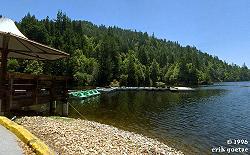
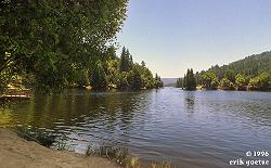
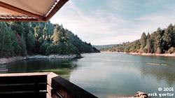
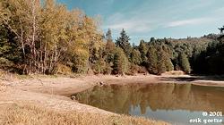
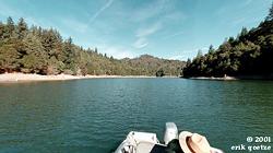
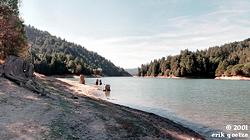
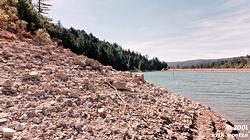
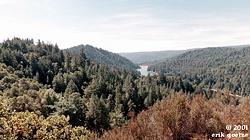
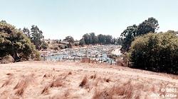
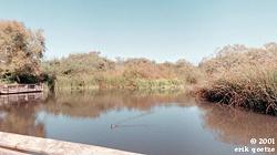
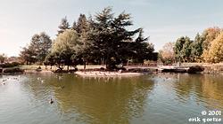
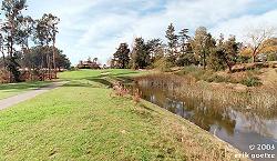
Park HQ and launching point (783KB) Midway around lake (866KB) Deck at Parking Lot (380KB) Inlet to the lake (1055KB) Middle of the lake (365KB) End of Island (856KB) Rocky shore near dam (945KB) Highland Trail overlook (1080KB)
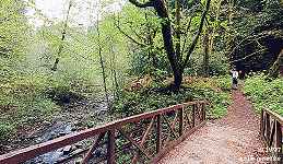
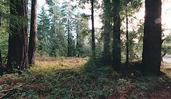
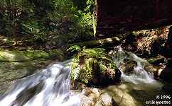
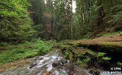
Fall Creek waterfall (1054KB) Fall Creek (1105KB) Fall Creek (1035KB) Fall Creek (1062KB) Lime Kilns (1179KB)
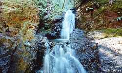
Basin Falls (576KB)
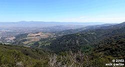
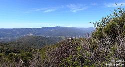
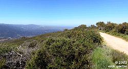
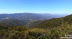
Kennedy Trail nr 1 (1292KB) Kennedy Trail nr 2 (1109KB) Kennedy Trail nr 3 (1177KB) Kennedy Trail nr 4 (1258KB) Kennedy Trail nr 5 (1004KB) Kennedy Trail nr 6 (1111KB) Kennedy Trail nr 7 (1083KB) Kennedy Trail nr 8 (1095KB) Kennedy Trail nr 9 (1343KB) Kennedy Trail nr 10 (1340KB) Kennedy Trail nr 11 (1185KB)
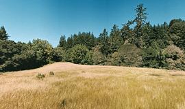
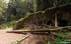
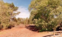
Old Stables Trail (609KB) Top of Ohlone Trail (656KB) Ohlone Meadow, off haunted trail (720KB) Redwood Trail and Haunted trail intersection (1066KB) Redwood Trail (1034KB) Clubhouse grounds (463KB) Clearing along Pogonip Creek Trail (546KB) Spring Trail (654KB) On top of limekiln (567KB) Facing Limekiln (624KB) Excavation behind limekiln (680KB) Shortcut down from spring (586KB) Pogonip initial hill near south entrance (393KB) Along the road into the park (454KB) Viewpoint by UCSC border nr 1 (381KB) Viewpoint by UCSC border nr 2 (367KB)
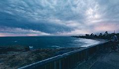
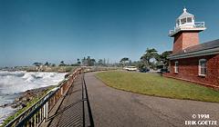
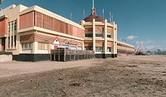
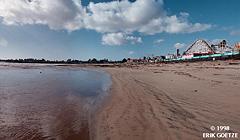
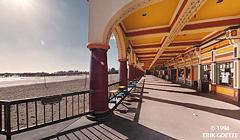
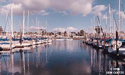
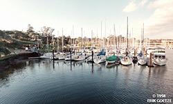
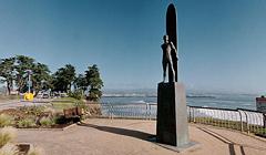
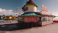
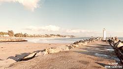
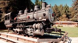
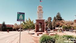
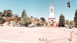
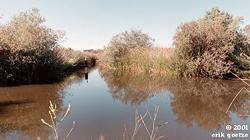
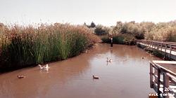
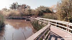
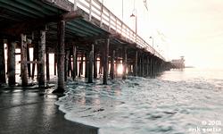
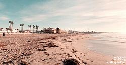
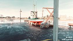
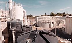
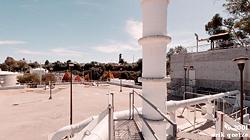
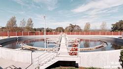
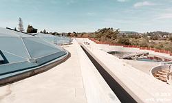
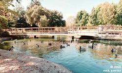
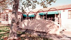
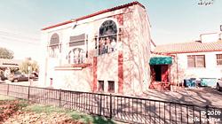
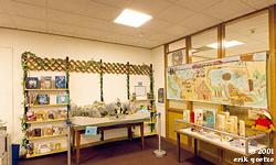
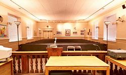
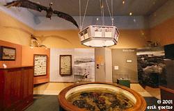
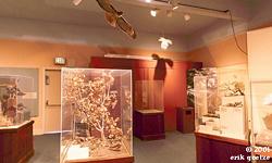
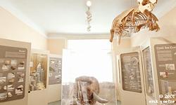
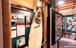
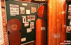
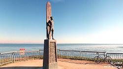
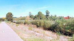
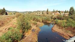
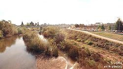
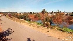
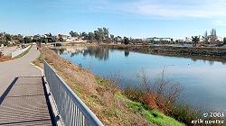
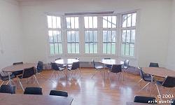
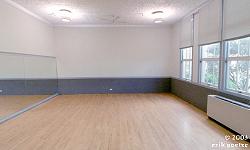
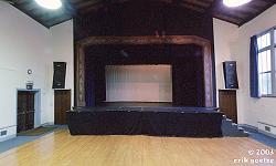
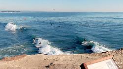
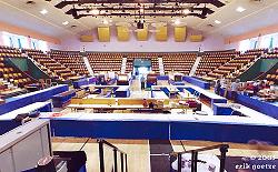
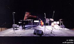
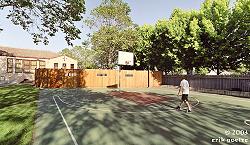
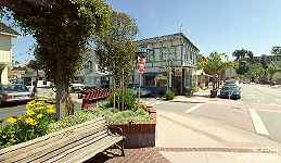
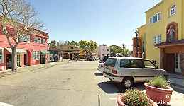
[No thumbnail] Beach walkway near Lighthouse Point (KB) [No thumbnail] Tip of Lighthouse Point (KB) Next to Santa Cruz Lighthouse (353KB) Santa Cruz Lighthouse and Surfing Museum (343KB) Santa Cruz Boardwalk/Beach (289KB) [No thumbnail] Santa Cruz Boardwalk/mid-beach (KB) Santa Cruz Boardwalk/Beach nr 3 (426KB) Santa Cruz Boardwalk/Beach nr 5 (284KB) [No thumbnail] Santa Cruz pier nr 1 (KB) [No thumbnail] Santa Cruz pier nr 2 (KB) Santa Cruz small craft harbor nr 1 (541KB) Santa Cruz small craft harbor nr 2 (519KB) Santa Cruz surfer statue 'To Honor Surfing' nr 1 (334KB) Santa Cruz Boardwalk/Beach nr 4 (272KB) Santa Cruz Yacht Harbor outlet (492KB) Locomotive at Harvey West park (509KB) [No thumbnail] Sports field at Harvey West park (KB) Downtown Clocktower nr1 (929KB) Downtown Clocktower nr2 (319KB) Downtown Clocktower nr3 (379KB) Arana Gulch nr1 (884KB) Arana Gulch nr2 (868KB) bridge at Neary Lagoon near Chestnut Street entrance (761KB) NW side of Neary Lagoon nr1 (380KB) NW side of Neary Lagoon nr2 (509KB) N side of Neary Lagoon (392KB) Next to the Wharf (766KB) Beach next to the Wharf (370KB) Boat exhibit on Wharf (358KB) [No thumbnail] The end of the Wharf (KB) Wastewater treatment facility nr1 (585KB) Wastewater Treatment Facility nr2 (722KB) Wastewater Treatment Facility nr3 (392KB) Wastewater Treatment Facility nr4 (336KB) San Lorenzo Park duck pond nr1 (627KB) San Lorenzo Park duck pond nr2 (688KB) Louden Nelson Community Center nr1 (1047KB) Louden Nelson Community Center nr1 (753KB) Santa Cruz Library entrance nr1 (693KB) Santa Cruz Library entrance nr2 (803KB) Santa Cruz Library Reference area nr1 (726KB) [No thumbnail] Santa Cruz Library Reference area nr2 (KB) Santa Cruz Library Children's section nr1 (651KB) Santa Cruz Library Children's section nr2 (694KB) Santa Cruz City Council Chambers nr1 (563KB) Santa Cruz City Council Chambers nr2 (646KB) Santa Cruz Museum of Natural History middle room (291KB) Santa Cruz Museum of Natural History back room (361KB) Santa Cruz Museum of Natural History front room nr1 (481KB) [No thumbnail] Santa Cruz Museum of Natural History front room nr2 (KB) [No thumbnail] Surfing Museum nr 1 (KB) Surfing Museum nr 2 (743KB) Surfing Museum nr 3 (729KB) Santa Cruz surfer statue 'To Honor Surfing' nr 2 (933KB) San Lorenzo River Levee Path by shopping center (561KB) San Lorenzo River Levee Path from overcrossing (365KB) San Lorenzo River Levee Path pedestrian bridge (497KB) San Lorenzo River Levee Path middle (500KB) San Lorenzo River Levee Path south section (410KB) DeLaveaga Park grassy field (523KB) Golf Course (580KB) DeLaveaga hill on frisbee course (613KB) Louden Nelson Cafeteria (296KB) Louden Nelson Ballet Room (279KB) Louden Nelson Auditorium (302KB) Lighthouse Point (481KB) Civic Center Gem show (432KB) Civic Center setup for music (559KB) Louden Nelson Basketball court (942KB)
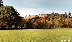
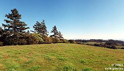
Terrace Loop Trail nr 1 (1113KB) Terrace Loop Trail nr 2 (943KB) Terrace Loop Trail nr 3 (1076KB) Terrace Loop Trail nr 4 (1108KB) Terrace Loop Trail nr 5 (1061KB) Bluff over Highway 1 (860KB) Open space along eastern entrance trail (934KB) Oak along eastern entrance trail (1235KB) Below Terrace Loop Trail (986KB)
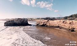
Natural Bridges beach (387KB)
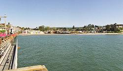
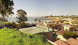
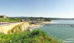
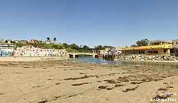
Capitola Pier (986KB) East Bluffs overlooking Capitola (1047KB) West Bluffs overlooking Capitola (880KB) Capitola Beach (1111KB) Esplanade nr 1 (1102KB) Esplanade nr 2 (906KB)
For a different panorama every day, visit VRlog.com, which works in all popular browsers and supports fullscreen viewing and WebVR.
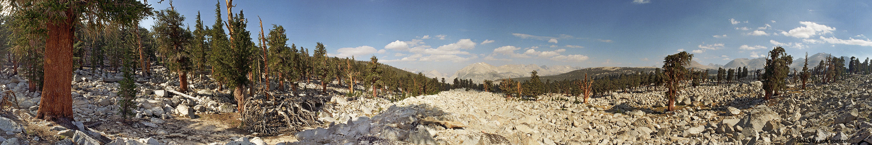 This 360 panorama is from PCT north of Mt. Whitney