-
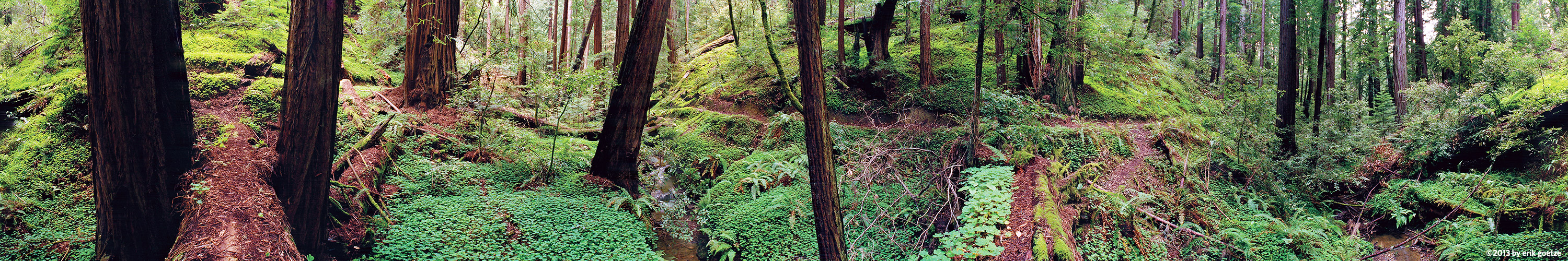 This 360 panorama is from Bear Creek, California
VirtualParks.org in the South Sierras
View Virtual Parks in the Southern Sierra Nevada
A textual list of parks along
with descriptions is available, and lists all the parks in this region.
I have shot hundreds of Sierra Nevada VR panoramas since 1995. These panoramic VR scenes are scattered amongst hundreds of parks, preserves, and forests, ranging from Yosemite, Kings Canyon, & Desolation Wilderness at Lake Tahoe to Inyo NF, Toiyabe NF, Ansel Adams Wilderness, Hoover Wilderness, and beyond. Use this map to drill into a region of interest in the Sierras.
The Sierra Nevada is also known as the "Range of Light".
Map of the North Sierras shows regions with panoramas
