-
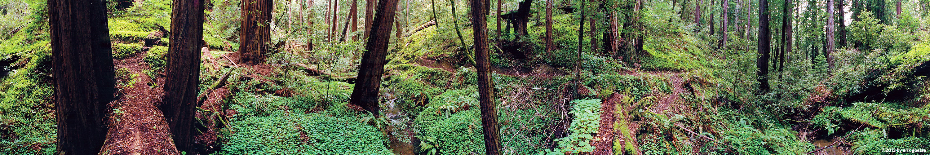 This 360 panorama is from Bear Creek, California
VirtualParks.org in the Bay Area
View Virtual Parks in the Bay Area
Choose a region to view lists of panoramas:
- North Bay
- Santa Francisco County
- North Santa Cruz Mtns
- Middle Santa Cruz Mtns
- Santa Cruz Area
- The Peninsula
- Santa Clara County
I have shot over a thousand Bay Area VR panoramas since 1995. These panoramic VR scenes are scattered amongst many dozens of parks, preserves, and forests across the Bay Area, ranging from Mt. Tam, Point Reyes, Big Basin, the GGNRA to Henry Coe, Wilder Ranch, and beyond. Use this map to drill into a region of interest in the picturesque Bay Area.
The Bay Area is home to Silicon Valley, "The City" (San Francisco, Oakland/Berkeley, the Golden Gate, Stanford, and many other points of interest.
Map of the Bay Area shows regions with panoramas
